A Birds-eye View of the Reserves
See what the reserves look like from the air, with their magnificent autumn colours. Here are some aerial photos and panoramas, as shown at the BET AGM.
Aerial photos and videos – the world as seen from BET
Last autumn I invested in a small drone (aka “boy’s toy”) to take aerial photos of the reserves. We plan to take photos regularly throughout the seasons to survey our land from the air and to monitor the progress of the work on the reserves as we execute our management plan.
Photos
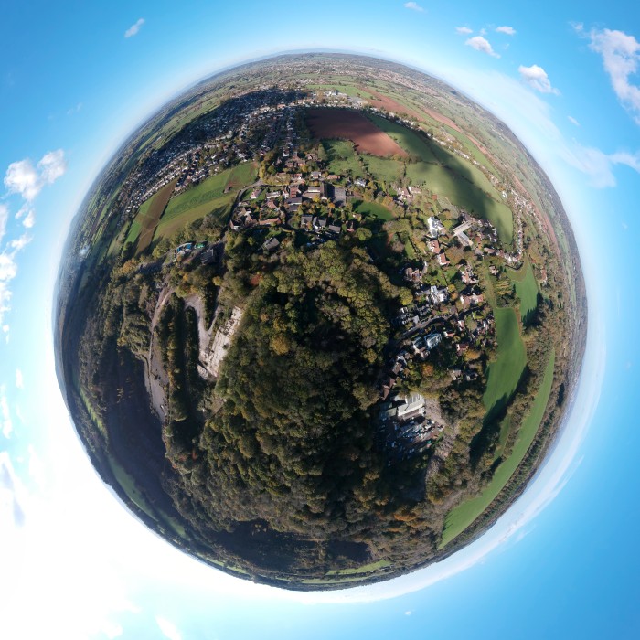
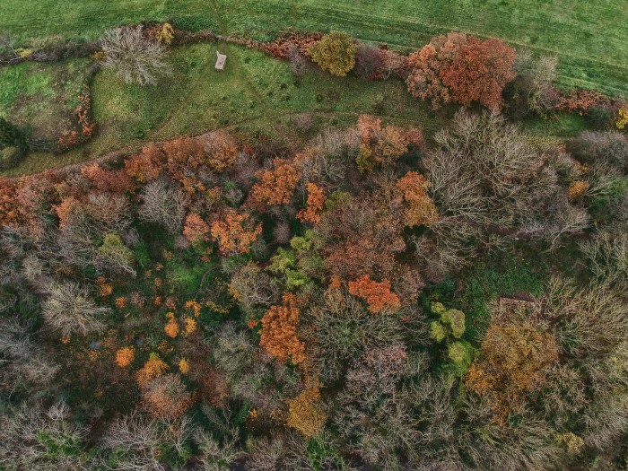
The aerial views clearly show the connectivity between the trees in the various sections of the woods and with the neighbouring woods. They also provide a brilliant way to appreciate the wonderful autumn colours of our wide variety of trees. The “spherical panoramas” present a very different perspective of the reserves.
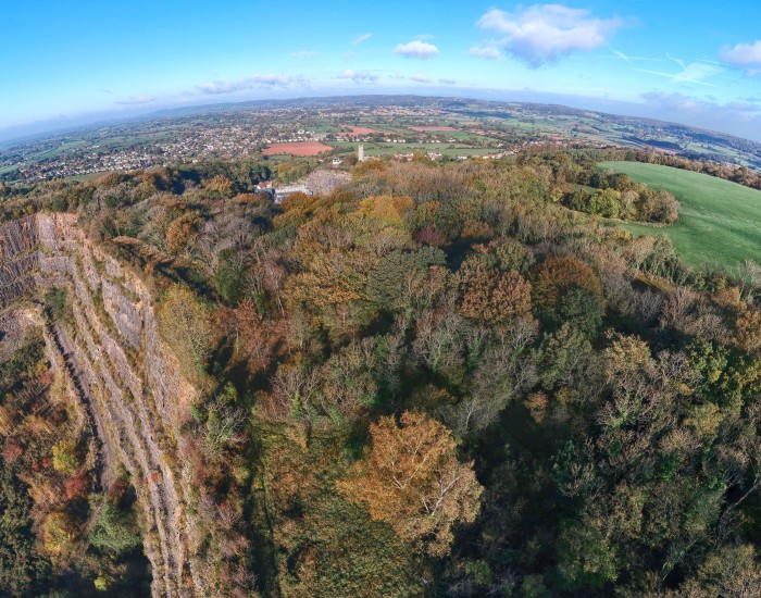
The following photo was taken from 250 feet above the Jubilee Stone and also just shows the outline of the Warrener’s Cottage.
We can also keep an eye on the cliff faces of the quarry adjacent to the Badgers Wood reserve and footpaths.
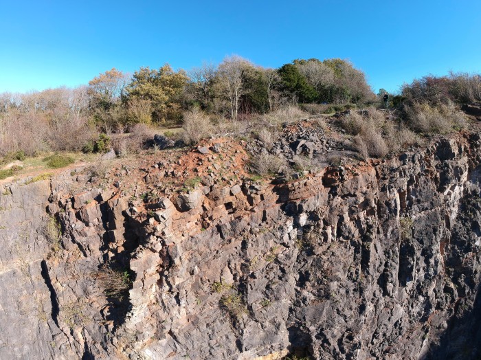
These are low-quality versions of the originals. A selection of higher resolution aerial photos can be found in this Flickr album. Click here: BET Aerial Photos
Panoramas
The drone is capable of automatically taking a series of panoramic shots which can be joined together to produce fascinating 360 degree views. Each of the following panoramas is made from 46 separate 12-megapixel photos which were stitched together seamlessly using the Microsoft ICE application. Special software is needed to view the resulting panoramic image. The Momento360 website is being tested for hosting these panoramas as it provides good download speed and allows you to pan around the view in all directions easily. So far it appears to work well on all browsers and mobile devices. Click on the links below, then click on the panorama to move it around:
- 360 view from BET Badgers Wood, above the Layers. 2-11-18
- 360 view from BET Badgers Wood, near the quarry. 25-10-18
- 360 view from BET, near the Jubilee Stone. 15-11-18
- 360 view of BET volunteers on the Fern Way top meadow. 19-11-18
Videos
Here are a couple of videos of the reserves and our amazing volunteers. Click on the links below:
- BET volunteers scything the Badgers Wood middle meadow, on the edge of the quarry
- The Badgers Wood Quarry cliff face (60sec version)
Drone details
For those interested, the drone is a DJI Spark mini quadricopter weighing just 300g. It has 2-axis camera gimbal stabilisation allowing you to shoot stabilised video at 1080p and stills at 12 MP. Horizontal speed is a maximum 32 mph and flying height is restricted to 400 feet under CAA regulations. Remote control maximum distance is around 1,500 feet but is restricted to visual line of sight at around 500 feet. With GPS satellite positioning, obstacle avoidance and facial recognition, it’s a remarkably clever little flying machine!
Stop Press
With effect from 13th March 2019, the no-fly zone around airports has been increased to 2.5 nautical miles, which covers the BET area. It is still possible to fly, but permission has to be requested from Bristol Air Traffic Control on the day.
Peter Speight
BET Trustee